 vesseltracker.com
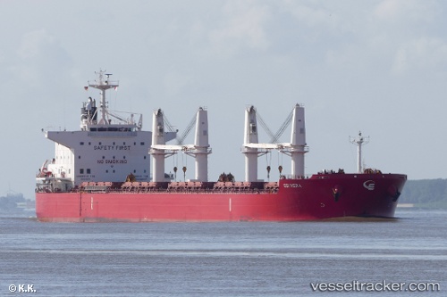
Vessel '538009146' IMO: 9714745, MMSI: 538009146
UTC, 6.87375, -15.24832, course: 142, speed: 11.4
UTC, 6.69369, -15.11805, course: 147, speed: 11.4
2026-02-14 21:28:40 UTC, 6.40057, -14.91558, course: 144, speed: 12
Live AIS position:
UTC. 159 nm SW of Hastings Apt/Freetown),
updated 2026-02-14 21:28:40 UTC.
Find the position of the vessel '538009146' on the map. The latter are known coordinates and path.
marine traffic ship tracker show on live map
The current position of vessel '538009146' is 6.40057 lat / -14.91558 lng. Updated: 2026-02-14 21:28:40 UTCDetails:
Last coordinates of the vessel:
UTC, 7.39816, -15.62292, course: 143, speed: 11.9UTC, 6.87375, -15.24832, course: 142, speed: 11.4
UTC, 6.69369, -15.11805, course: 147, speed: 11.4
2026-02-14 21:28:40 UTC, 6.40057, -14.91558, course: 144, speed: 12